Visiting pop stars and politicians made it famous. It featured in the Oscar-winning movie The Constant Gardner.
But look at a map and you’ll strain your eyes trying to locate the tin shacks and mud huts of Kibera.
Although one of Africa’s more densely populated areas – some 250,000 people crammed into 2.3 sq km – the informal settlement shows up as nothing but “forest” in the Kenyan land registry.
The shanty town is just five kilometres south west from Nairobi’s city centre. Official maps pinpoint the Royal Nairobi golf course. But below this, there’s zilch, a big blank space where the Kibera slum should be.
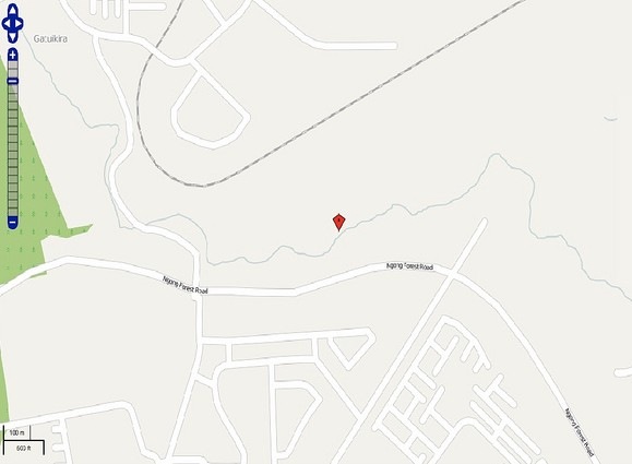
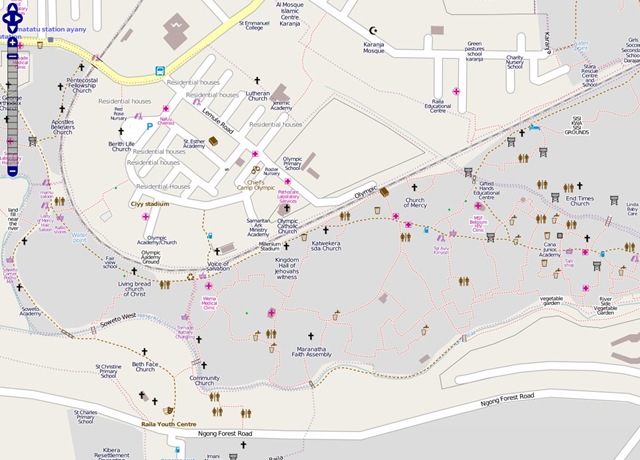
Mapping Kibera: Before and after mapping.
Photo Credit: Mikel Maron – Before, After
Determined to be seen, to put themselves on the map, Kibera’s residents have turned to a DIY tech solution.
Using hand-held GPS devices, trained volunteers are marking what they regard as important in and around the 13 villages which make up Kibera.
Their waymarks get zapped over instantly to Map Kibera, a digital map, part of a community news website built using open source software.
The map was set up by new media experts Mikel Maron and Erica Hagen working with academics from the University of Nairobi.
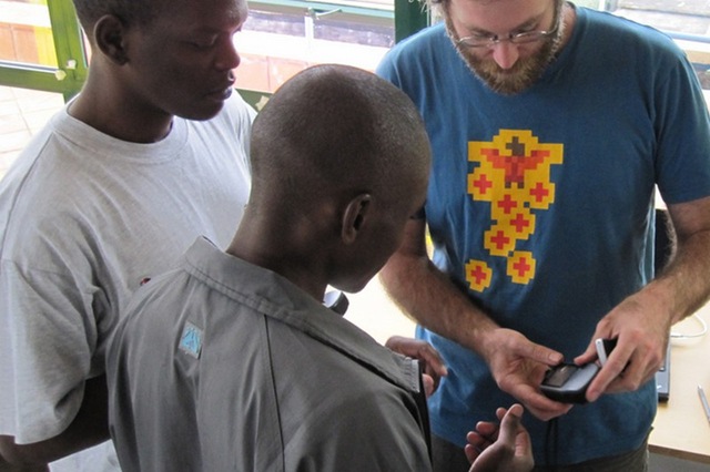
Map Kibera’s Mikel Maron with volunteer mappers.
Photo Credit: White African
They argue that locals can’t figure out how to improve Kibera without getting a sense of the world immediately around them.
There’s a business case for the digital map as well.
The volunteers are gaining transferable skills, explains Maron. “For the mappers and citizen journalists we work with, their skills are definitely marketable, both in Kibera and outside.”
And the map also gives businesses a way to reach new customers.
Future business plans include using the map to market new mobile phone services and partnering with local health providers so that Kibera residents have access to health insurance.
A version of this appears in the March issue of Bspirit, the Brussels Airlines magazine.